Spring In The Berkshires And We’ve Got A Winter Weather Advisory
Springtime in the Berkshires is a beautiful thing(even though spring never seems to last nearly as long as it should). But if there's one thing we know here in New England, just because it's "calendar" spring, that does not mean we can't get hit with another winter storm.
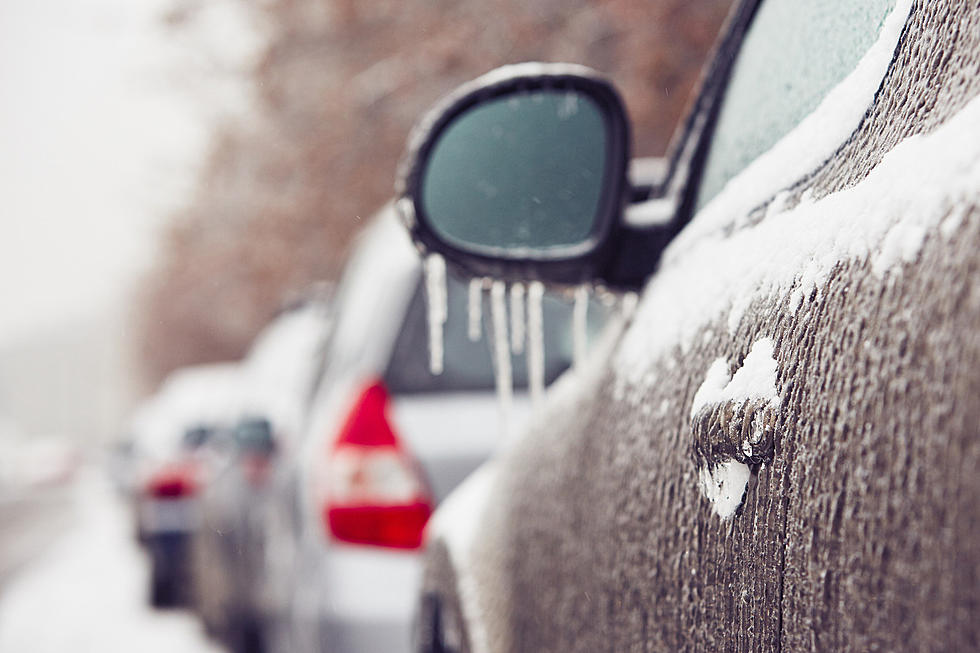
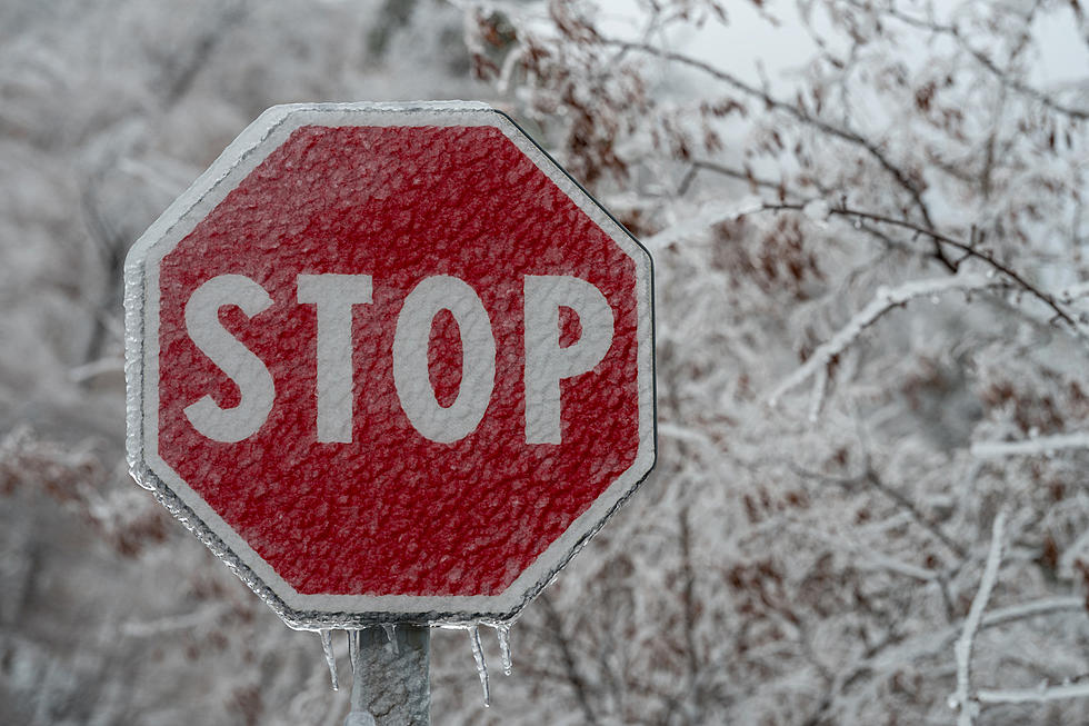
And it looks like Berkshire County is going to get some freezing precipitation tonight into tomorrow either in the form of freezing rain, ice, and snow. Or maybe a combination of some or all three which could lead to a very dangerous morning commute.

The National Weather Service(NWS) in Albany has issued a Winter Weather Advisory for all of Berkshire County and Southern Vermont that goes into effect at 11 p.m. tonight and remains in effect until 12 p.m. tomorrow.
This advisory calls for some potentially nasty precipitation and that precip will vary depending on what the temperature is when it falls in your area. The NWS is calling for mixed precipitation with a total of up to one inch of snow and sleet accumulation.
Here's where it gets nastier. The NWS is also calling for up to one quarter of an inch of ICE accumulation. Higher elevations, such as Northern Berkshire and Southern Vermont, could potentially see up to one third of an inch of ice accumulation.
Obviously, you should plan for slippery road conditions for tomorrow morning's commute. Definitely use extra caution, drive slow, and perhaps leave the house a little earlier to allow for extra time to get to your destination. Also, any ice accumulation along with gusty winds could potentially result in power outages and tree damage.
Here's the weather outlook for the next couple of days from the National Weather Service:
- Today- Mostly cloudy. High near 48.
- Tonight- Rain, possibly mixed with sleet before 5 a.m., then freezing rain, possibly mixed with sleet. Low 29.
- Thursday- Freezing rain before 9 a.m., then rain. High near 41.
- Thursday Night- Rain, mainly before 2 a.m. Low 36.
- Friday- Chance of rain before noon, then scattered showers. Mostly cloudy. 52.
- Friday Night- Scattered showers, mainly before 8 p.m. Mostly cloudy. 34.
We won't even venture into the weekend yet. Let's not get ahead of ourselves, right? Anyway, when you venture out onto the roads tomorrow morning, please be careful.
LOOK: The most expensive weather and climate disasters in recent decades
TIPS: Here's how you can prepare for power outages
15 Ways You Can Help People in Ukraine Right Now
LOOK: See the iconic cars that debuted the year you were born
More From WBEC AM