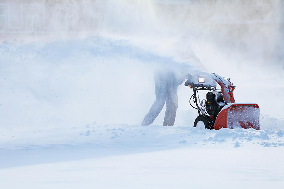
Ice Storm Warning in Effect For The Area
Luckily the kids are out of school for the Holiday Vacation, This Monday is turning into a nasty one! The roads are getting slick & dangerous in some areas of the Berkshires.
An ice storm warning for the Berkshires that will remain in effect until 7am tomorrow is urging county residents to brace for potential, prolonged power blackouts, tree damage and very difficult travel conditions.
The National Weather Service in Albany says that heavy bursts of freezing rain are expected to coat roadways and sidewalks with a thick glaze of ice throughout the course of the ice storm.

From the national weather service in Albany FOR THE Berkshires.
ICE STORM WARNING REMAINS IN EFFECT UNTIL 7 AM EST TUESDAY...
* WHAT...Significant icing. Additional ice accumulations of one-tenth
to one-third of an inch. Greatest ice accumulations above
1200 feet elevation. Snow and sleet accumulations of up to an inch.
Winds gusting as high as 35 mph today.
* WHERE...In Connecticut, Northern Litchfield County. In
Massachusetts, Southern Berkshire, and Northern Berkshire
Counties.
* WHEN...Until 7 AM EST Tuesday.
* IMPACTS...Expect power outages and tree damage due to the ice.
Travel could be impossible. The hazardous conditions could
impact the morning and evening commutes today.
* ADDITIONAL DETAILS...Freezing rain could mix with some sleet
late today into this evening.
PRECAUTIONARY/PREPAREDNESS ACTIONS...
Travel is strongly discouraged. If you must travel, keep an extra
flashlight, food and water in your vehicle in case of an
emergency. Prepare for possible power outages.
Today Freezing rain before 11am, then rain between 11am and 4pm, then freezing rain after 4pm. High near 33. East wind 13 to 15 mph. Chance of precipitation is 90%. Total daytime ice accumulation of less than a 0.1 of an inch possible.
Tonight Rain or freezing rain before 10pm, then freezing drizzle likely between 10pm and 1am, then drizzle likely after 1am. Low around 31. East wind 9 to 13 mph. Chance of precipitation is 80%. Little or no ice accumulation expected.
Tuesday A chance of drizzle or freezing drizzle before 2pm, then a slight chance of rain showers between 2pm and 5pm, then a slight chance of rain and snow showers after 5pm. Cloudy, with a high near 38. East wind around 6 mph becoming light and variable. Chance of precipitation is 20%.
Tuesday Night A chance of rain and snow showers before 8pm, then a chance of snow showers. Mostly cloudy, with a low around 26. West wind around 8 mph. The chance of precipitation is 30%. New snow accumulation of less than a half-inch possible.
New Year's DayA slight chance of snow showers before 8am. Mostly cloudy, with a high near 35. West wind 8 to 13 mph. Chance of precipitation is 20%.
More From WBEC AM